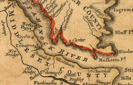
| to the Randolph Archives Map Collection  |
US Federal Census Maps - State and County Maps with interesting County information can be accessed here.
A series of maps showing the formation of the US can be found here.
David Rumsey's historical map collection can be be accessed here.
You can also find some excellent maps at the Library of Congress Map Collection here.
Return to front page here.
You can click on the state, then click on the county to be taken to a page with information about the county.
It requires that you download a viewer, but it is an excellent collection of maps.